What’s Happening?
The odds of a major El Niño forming this year have increased, putting Queensland’s farming outlook, food supply and winter planning back under the weather microscope.
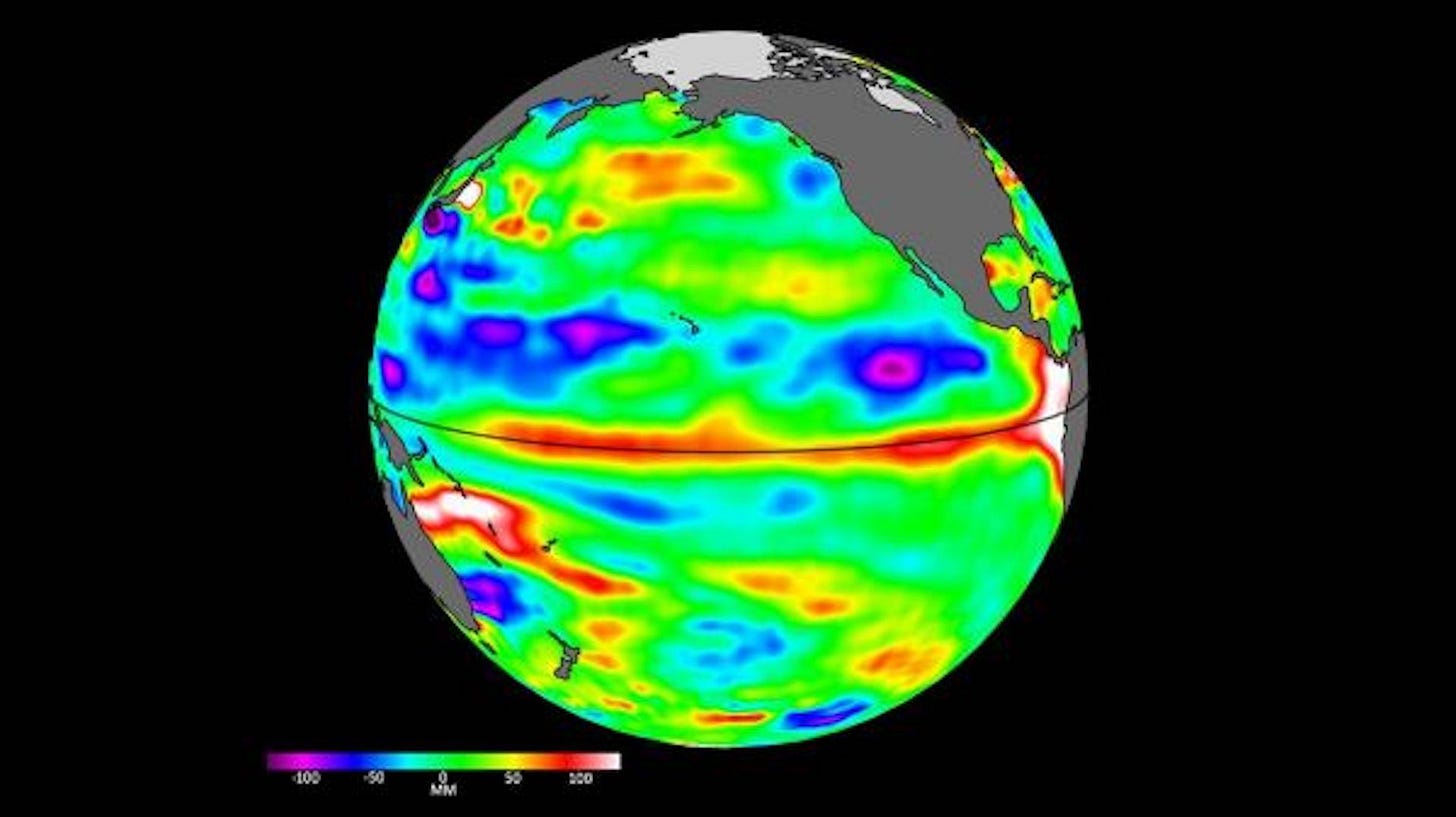
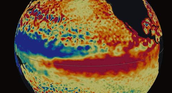
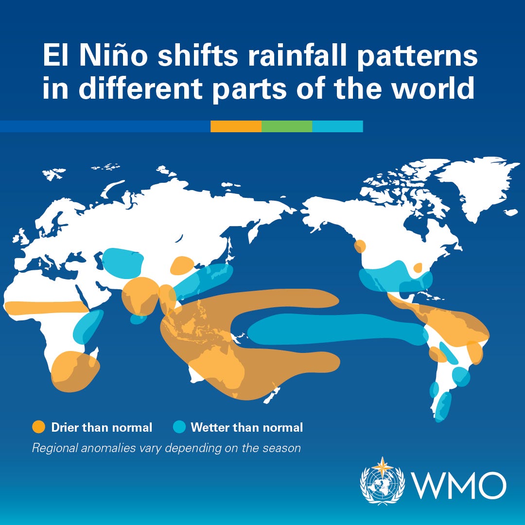
In just the last few days, the World Meteorological Organisation has advised that El Niño conditions are developing further in the tropical Pacific, with an upgraded likelihood of an event emerging across June to August this year.
Why It Matters
El Niño usually raises the risk of hotter, drier conditions across parts of Australia, particularly in the east.
That can affect winter crops, cattle supply, dairy margins, vegetable planting and, eventually, what shoppers see at the checkout.
If it does develop, prediction models suggest it is very likely to continue until at least November, with probabilities near or above 90 per cent that it will last until then.
That timing matters.
Bendigo Bank Agribusiness’s monthly commodity update says late-May rain gave southern Queensland and northern New South Wales a much-needed seasonal reset, helping winter crops establish and reducing pressure on cattle producers to sell stock quickly.
In plain English, Queensland and its regional areas have had a better start than anticipated, but the season is not out of the woods, given the details in the upgraded predictions about potential duration.
By The Numbers
- There’s an upgraded 80 per cent likelihood of a significant El Niño event emerging during June to August 2026.
- In State of Origin betting terms, that’s a far from ideal NSW paying $1.25, and Queensland out at $5.00 (but with every Queenslander deep down knowing those odds haven’t meant anything the last decade..)
- If it does develop, there’s a 90% chance it will continue until at least November.
- The three -month rainfall outlooks continue to point towards a higher likelihood of drier conditions across most of Australia’s agricultural regions, according to the BoM.
Zoom In
Late-May rain gave Queensland agriculture a much better winter starting point.
Bendigo Bank Agribusiness says Queensland’s wheatbelt averaged 57mm in May, about 278 per cent of median, which helped winter crops get out of the ground after a dry lead-in.
Cattle producers also got a lift with better seasonal conditions, meaning fewer producers were forced to sell quickly, which tightened supply and helped Queensland export cattle prices rise 20c to 40c/kg across several categories in May.
Queensland winter vegetables were still below long-term price averages in May, but reduced planting could tighten supply from August.
Despite the news above, the watch-outs are still real.
Winter crops need follow-up rain to turn a promising start into actual yield, cotton production is down 11 per cent in Queensland this season, and dairy margins remain squeezed despite milk production being up 3.2 per cent for the season to April.
So the read is simple, the rain bought Queensland time, confidence and a better base but it hasn’t been enought to buy immunity from what the upgraded predicitons are suggesting.
What The People Say
Dr Mandy Freund from the Univeristy of Melbourne has said “A moderate to strong El Niño is now likely. That matters and is worth paying attention to.”
WMO Secretary-General Celeste Saulo said “We need to prepare for a potentially strong El Niño event – which will exacerbate drought and heavy rainfall and increase the risk of heatwaves both on land and in the ocean.
The most recent El Niño, in 2023-24, was one of the five strongest on record and it played a role in the record global temperatures we saw in 2024,”
What To Look For Next
There is no guarantee that a big dry is coming, but this upgraded status is worth close attention, with the next test being winter rainfall.
If follow-up falls arrive, Queensland’s agricultural season has a stronger base, however, if conditions dry out, pressure could return quickly across crops, cattle and fresh food supply.
Keep an eye on Bureau of Meteorology seasonal updates, cattle prices and vegetable supply from late July into August, as that is when this story may start moving from paddocks and predictions to supermarket shelf prices.